South San Jose · US - California
South San Jose to Cupertino Loop 2025
A 54.5 mi South San Jose to Cupertino road loop with 1,667 ft of climbing.
Distance
54.5 mi
Elevation
1,667 ft
Moving Time
3:28:34
Ride Date
Aug 24, 2025
Location
South San Jose
South San Jose start/end; Cupertino loop inferred from the Strava GPS trace.
Coordinates
37.245861, -121.803658
Route Overview
Route
South San Jose to Cupertino Loop
Start
South San Jose
Finish
South San Jose
Surface
Road
Track
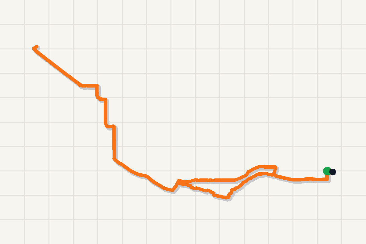
South San Jose to Cupertino Loop route
Trip Map
South San Jose route · 1 stops · Route track included
1. South San Jose
South San Jose start/end; Cupertino loop inferred from the Strava GPS trace.
Logistics
- Start and finish were inferred from the Strava GPS trace near South San Jose; confirm exact parking before reusing this route.
- The route reaches toward the Cupertino side of the South Bay, so plan for a longer cross-town road loop.
Notes
- Synced from authorized Strava activity 15574563693.
- Route title and location were inferred from Strava start/end coordinates and polyline bounds; confirm before turning this into a full guide.
Ride Summary
This was a 54.5 mile road ride starting and finishing around South San Jose. The GPS trace reaches west toward Cupertino before returning to the South Bay start area, with 1,667 ft of climbing over 3:28:34 of moving time.
Route
The route works as a South San Jose to Cupertino loop. It heads west across the South Bay, reaches the Cupertino side, and returns to the same general start area.
Use the map overlay here as the source of truth for the route shape. The title is based on the GPS bounds rather than a manually written ride title from the day.
Logistics
- Start/end: South San Jose area.
- Distance: 54.5 mi.
- Climbing: 1,667 ft.
- Surface: road.
- Source: authorized Strava sync plus generated route overlay.
Notes
This entry is published as a compact ride log first. Add photos, exact parking, water stops, and a fuller ride story later if this route becomes a reusable guide.