Mount Diablo · US - California
Mount Diablo 2025 | First Diablo Ride
A first Mount Diablo attempt with 43.1 mi of road riding and 4,386 ft of climbing, setting the baseline for this Bay Area classic climb.
Distance
43.1 mi
Elevation
4,386 ft
Moving Time
4:09:00
Ride Date
Aug 3, 2025
Location
Mount Diablo
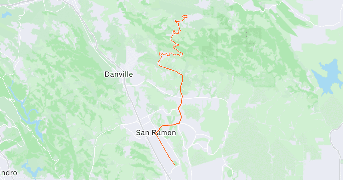
Strava route map shows the approach from the San Ramon / Danville side
Route Overview
Route
Mount Diablo Climb
Surface
Road
Track
GeoJSON route overlay
Trip Map
Mount Diablo route · Route track included
Logistics
- The public Strava record shows 43.1 mi, 4,386 ft of elevation gain, and 4h09m moving time.
- The route map shows an approach from the San Ramon / Danville side; exact parking and supply points were not available from the public activity.
- Long climbing and the return descent both require water, calories, and attention.
Notes
- The Strava activity title was Diablo初体验, recorded on 2025-08-03.
- The public activity page includes a route map but no additional ride photos.
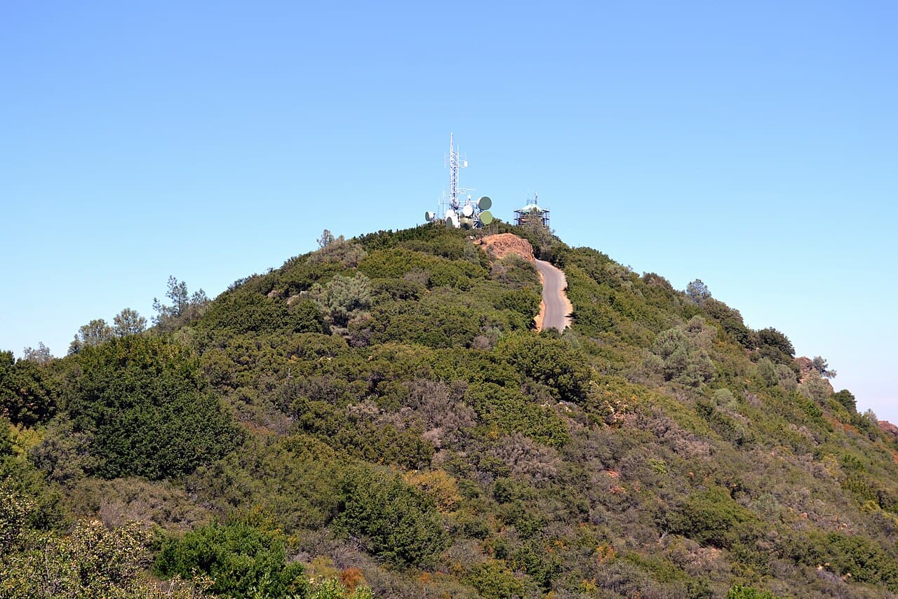
- The cover uses Oleg Alexandrov's Mount Diablo Summit photo under CC BY-SA 3.0 via Wikimedia Commons.
Ride Summary
This was the first time Mount Diablo became a recorded cycling goal. The Strava title was Diablo初体验, and the public embed shows 43.1 mi / 4,386 ft / 4h09m. The distance is not extreme, but more than four thousand feet of climbing makes it a full climbing day.
The public route map shows the ride approaching Mount Diablo from the San Ramon / Danville side. The Strava activity did not include additional photos, so the cover uses a publicly licensed summit photo. The route map and finish data are still the clearest record of the first Diablo ride.
Route
From the Strava route map, the ride starts around San Ramon, heads north toward Danville, then enters the Mount Diablo climbing roads. The public activity does not provide exact parking, supply, or turnaround details, so this page only records verifiable route shape and completion data.
Logistics
- Distance: 43.1 mi.
- Elevation gain: 4,386 ft.
- Moving time: 4h09m.
- Reminder: for this kind of long climb, plan water and calories ahead, and keep focus for the descent.
Notes
Diablo初体验 is an accurate title. The main point was not a complex itinerary; it was completing the first Mount Diablo climb record. The route map, elevation, and moving time are enough to set a baseline for future attempts.
Cover source: Mount Diablo Summit, photographed by Oleg Alexandrov under CC BY-SA 3.0.

Photos
Ride Gallery