Distance
51.7 mi
Elevation
3,858 ft
Moving Time
4:45:00
Ride Date
Apr 15, 2023
Location
Henry W. Coe State Park
South Bay foothills climb captured from the public Strava activity
Route Overview
Route
Henry Coe Climb
Surface
Road
Track
GeoJSON route overlay
Trip Map
Henry W. Coe State Park route · Route track included
Logistics
- The public Strava record shows 51.7 mi / 3,858 ft / 4h45m.
- The activity title was Henry coe climb, recorded on 2023-04-15.
- A long-missed 50+ mile ride plus nearly 4,000 ft of climbing felt much harder than a normal weekend ride.
Notes
- The Strava description says Henry Coe is hard, and that 50+ miles had been off the menu for a while, so the ride felt very tiring.
- This route works best as its own climbing goal, not something casually added after another long event ride.
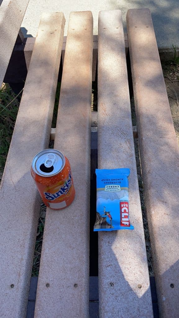
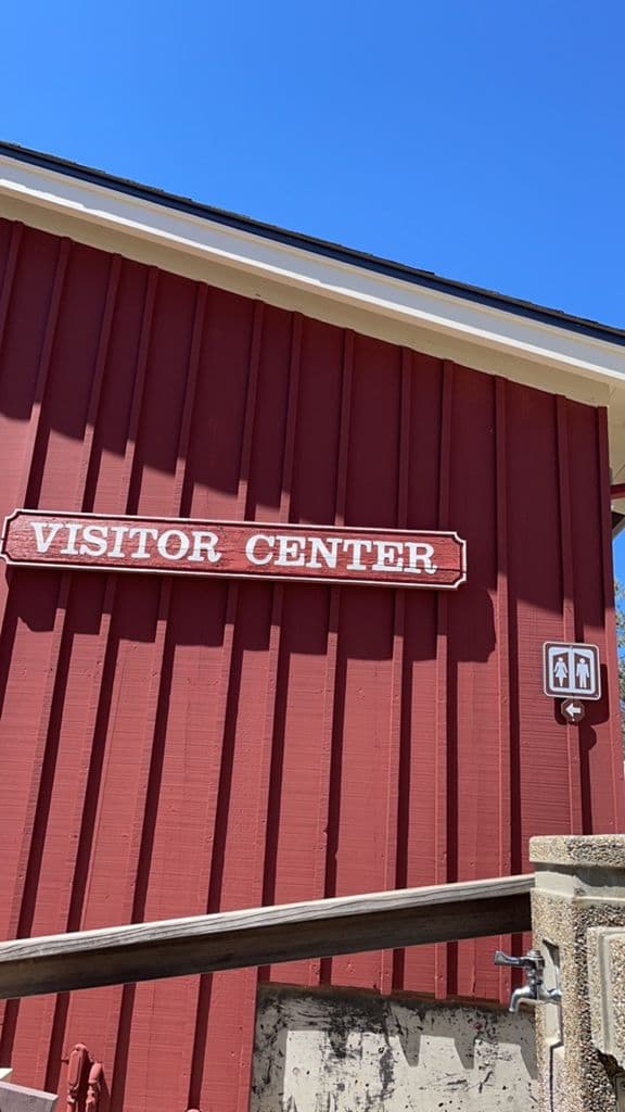
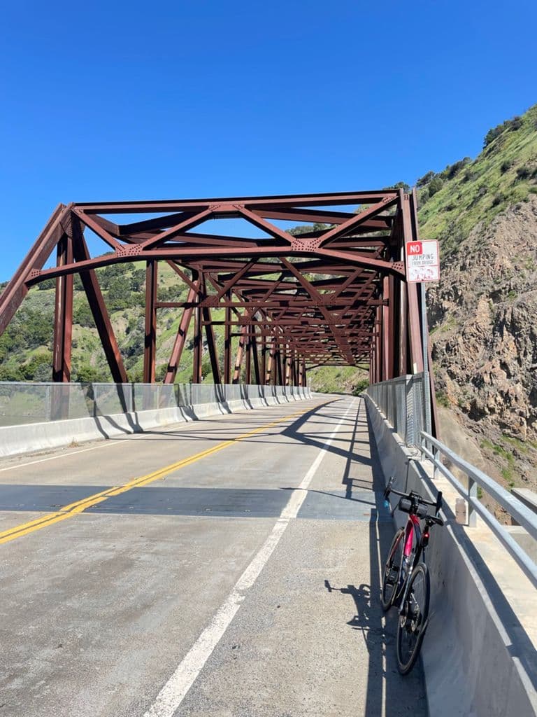
- The bridge, visitor center, and snack stop photos make it easy to remember the route later.
Ride Summary
Henry Coe Climb is the kind of ride with a short name and very honest legs. The public Strava record shows 51.7 mi / 3,858 ft / 4h45m. The distance is shorter than Tierra Bella, but the climbing density is higher, so the day felt much harder.
The original Strava note was direct: Henry Coe is hard, and it had been a while since riding 50+ miles, so it was very tiring. That sentence is worth preserving because it sounds more like the day than any polished summary.
Route
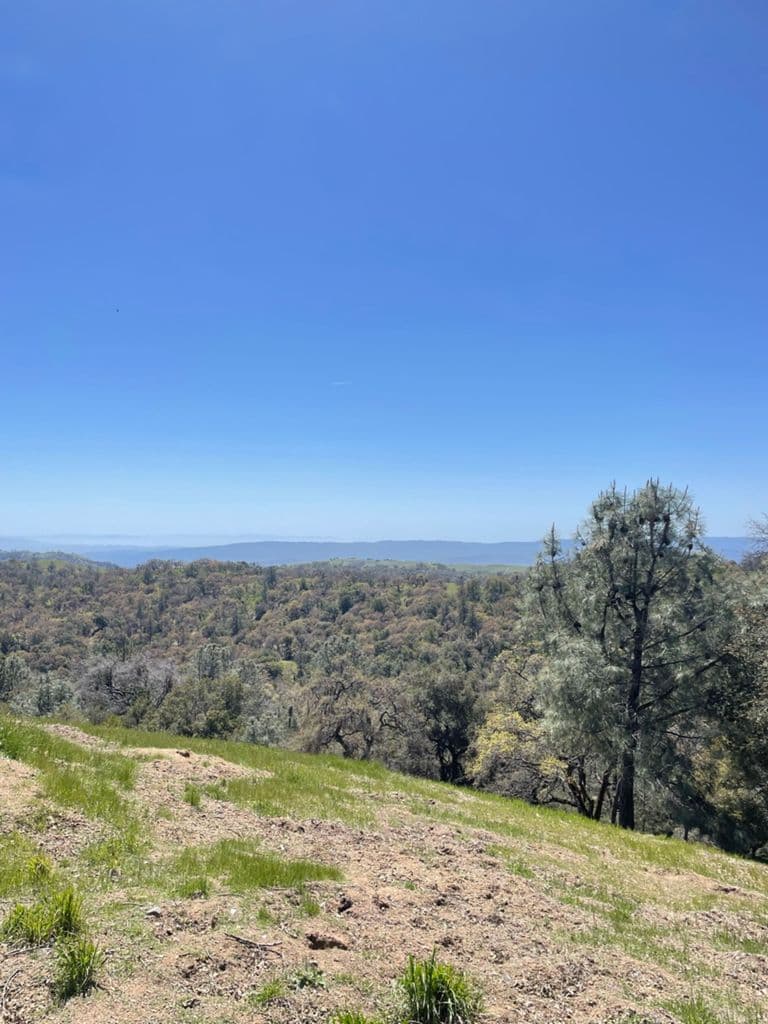
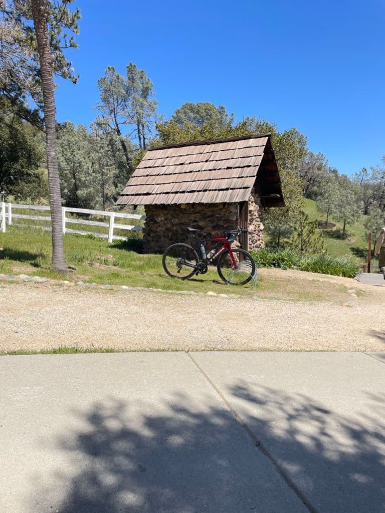
The public activity confirms this as a road climb around Henry Coe. The photos include a bridge, hillside views, a ranch-like stop, and the Visitor Center, so the route has a clear personality: not a flat mileage ride, but a day that slowly stacks up climbing.
Logistics
- Distance: 51.7 mi.
- Elevation gain: 3,858 ft.
- Moving time: 4h45m.
- Fuel: on a nearly 4,000 ft climbing day, treat snack breaks as real route work.
Notes
Henry Coe feels harder than the numbers suggest. It is not just about distance; every refill, snack, and climb becomes specific. If I repeat it, the main lesson is to plan it as a full climbing day and respect the fatigue that comes from 50+ miles plus elevation.
Photos
Ride Gallery